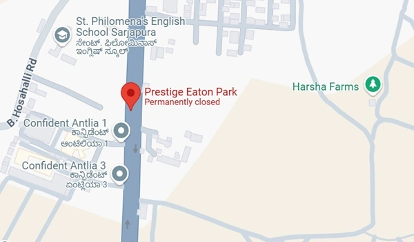
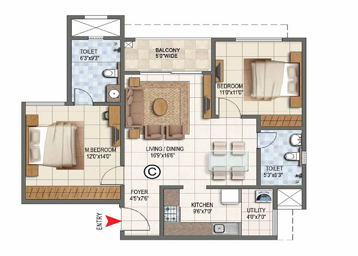
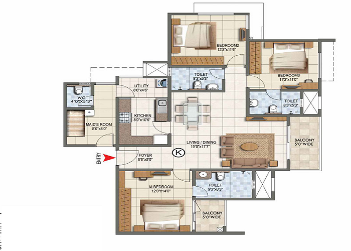
Prestige Eaton Park Map

The Prestige Eaton Park Map gives directions to reach the project site located at Sarjapur - Marathahalli Rd, Yamare Village, Bangalore, Karnataka 562125. It also gives brief details on real time traffic conditions. Prestige Eaton Park Map has a latitude of 12.8770° N and a longitude of 77.7661° E.
Prestige Eaton Park Map link: https://maps.app.goo.gl/HtBQDb2cKygiSfwq7
Prestige Eaton Park Map plus code: VQG8+QC Bangalore, Karnataka
Prestige Eaton Park Map Details
- Map Location: Sarjapur Road
- PIN Code: 562125
- Latitude: 12.8770
- Longitude: 77.7661
- North Boundary: 26M wide internal driveway
- South Boundary: Private properties
- East Boundary: CA and Private properties in Sy. No 23/1
- West Boundary: Private properties in Sy. No 32/4
Landmarks near Prestige Eaton Park
Prestige Eaton Park Map on Sarjapur Road indicates that the project is surrounded by main landmark locations. The following are the details,
- Koramangala: 12 km
- Whitefield: 14.6 km
- Marathahalli: 11.2 km
- Majestic Bus Stand: 25.8 km
- Bellandur: 12.4 km
- E City: 20 km
- Wipro Main Campus: 12 km
- RGA Tech Park: 8 km
- Carmelaram Railway Station: 8.6 km
- Bangalore Airport: 49.8 km
Prestige Eaton Park Map is located in an area that makes it easy to reach major IT parks, ensuring that your daily commute is hassle free.
Time to Reach Important Places
- Koramangala: 35 mins
- Whitefield: 30 mins
- Marathahalli: 20 mins
- E City: 40 mins
- Wipro Main Campus: 20 mins
- RGA Tech Park: 19 mins
- Bellandur: 22 mins
- Nearby Railway Station: 8 mins
- Bangalore Airport: 1 hour 10 mins
Public Transport
- BMTC buses run regularly on Sarjapur Road near Prestige Eaton Park, and they connect to all areas of the city.
- Carmelaram Railway Station is nearby at 8.6 km. It offers an easy travel option to other cities.
- Whitefield Metro Station is 14.9 km away. It gives easy travel options for people who travel daily
- The upcoming Metro Phase 3 will soon improve the transport network.
Essential Amenities Nearby
- Schools: Asia Pacific World School, National Public School, Green wood High, CMR Gandhi Public School
- Shopping: Central Mall, Forum Mall, Market Square, Virginia Mall, Total Mall
- Hospitals: Springe Leaf, Columbia Asia, Manipal
The map is created to help buyers of Prestige Eaton Park find their houses easily. Whether you are commuting to IT hubs, schools, or for shopping, this area will give smooth travel. With the prime area, Prestige Eaton Park is easy to locate on the map, and it is the top location in East Bangalore.
Prestige Eaton Park Blog
| Enquiry |


